SBS Transit pilots Waymap-SG for visually impaired commuters
11 Oct 2023|360 views


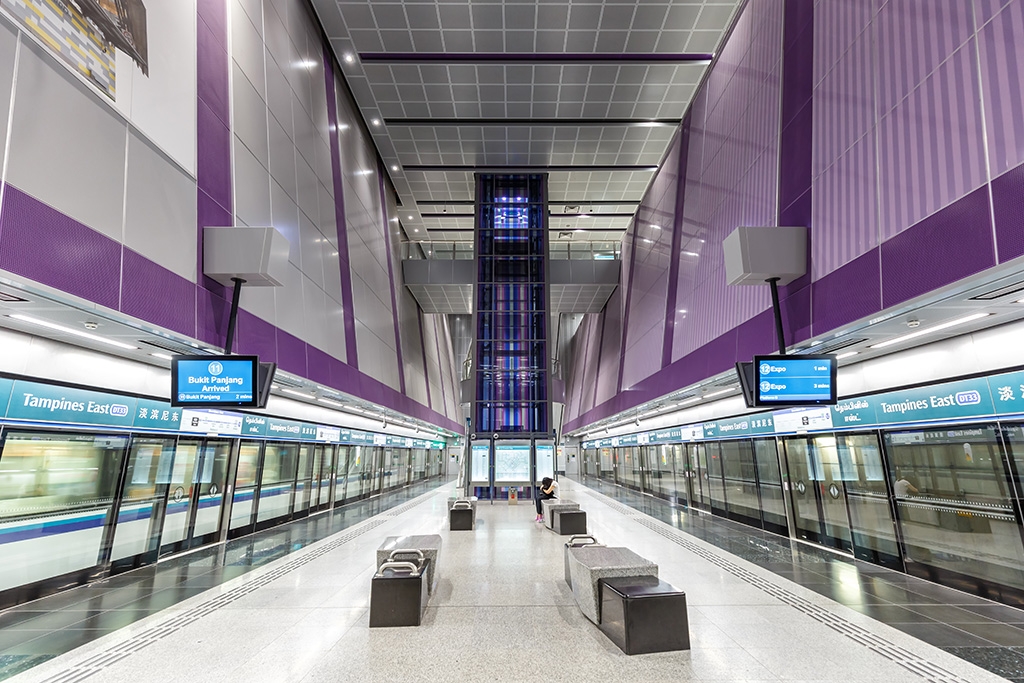
More is being done to make navigating the public transport network friendlier for visually impaired commuters. Yesterday, SBS Transit (SBST) and British firm, Waymap, officially launched a smartphone app called Waymap-SG, which gives audio cues on directions. Its functions, however, are limited to the scope of Tampines Bus Interchange and Downtown Line (DTL) Tampines station for a start, as a test of its viability for scaling up. According to The Straits Times, SBST and the Land Transport Authority (LTA) plan to cover a "good part" of SBS' bus interchanges and MRT stations with Waymap-SG by 2024.
The app may be the first of its kind in the Asia-Pacific region but not in other parts of the world. Cities such as New York, London and Brisbane have seen previous iterations of the technology.

Waymap-SG navigates the user by giving them audio directions on getting to an escalator and the number of landings there are in a flight of stairs
Waymap-SG works by mapping out facilities such as bus berths, train platforms, escalators, and toilets beforehand, using existing blueprints or off-the-shelf lidar (light detection and ranging) scanners. The mapped-out data is then sent to the Waymap team, which adds to it accessibility information that tells the user the number of landings there are in a flight of stairs and how far away they are from an escalator, for instance.
Unlike other navigation apps, Waymap-SG utilises a smartphone's sensors - like the accelerometer and gyroscope - instead of relying on GPS, Bluetooth signals or Internet connection. This means navigation is possible even underground where there is no signal. With an accuracy range of up to one metre, the sensors inform the Waymap team how long each step the user takes is and in what direction that step is headed. The app also leverages machine learning to match a user's walking gait and speed to improve the user's experience over time.
In May 2022, SMRT also introduced its own navigation tool app, NaviLens. How NaviLens works is via the detection of marker tags embedded in the tactile paving at SMRT's bus interchanges.
SBST and Waymap plan to expand Waymap-SG's coverage to malls to improve the navigation experience and exploration of new places by the visually impaired
Tampines was selected as the testbed for the trial as SBST wanted to map out a transport hub with retail shops in the vicinity. Bigger plans are in the pipeline as SBST and Waymap look to future collaborations with the malls. The functions of the app will also prove useful in public spaces such as hospitals. This will help to bridge an important gap for the visually impaired who find current coverage and solutions to be lacking. By facilitating navigation within indoor environments and throughout the public transport system, commuters with visual impairment will feel less anxious and be more encouraged to explore new places independently.
More is being done to make navigating the public transport network friendlier for visually impaired commuters. Yesterday, SBS Transit (SBST) and British firm, Waymap, officially launched a smartphone app called Waymap-SG, which gives audio cues on directions. Its functions, however, are limited to the scope of Tampines Bus Interchange and Downtown Line (DTL) Tampines station for a start, as a test of its viability for scaling up. According to The Straits Times, SBST and the Land Transport Authority (LTA) plan to cover a "good part" of SBS' bus interchanges and MRT stations with Waymap-SG by 2024.
The app may be the first of its kind in the Asia-Pacific region but not in other parts of the world. Cities such as New York, London and Brisbane have seen previous iterations of the technology.
Waymap-SG navigates the user by giving them audio directions on getting to an escalator and the number of landings there are in a flight of stairs
Waymap-SG works by mapping out facilities such as bus berths, train platforms, escalators, and toilets beforehand, using existing blueprints or off-the-shelf lidar (light detection and ranging) scanners. The mapped-out data is then sent to the Waymap team, which adds to it accessibility information that tells the user the number of landings there are in a flight of stairs and how far away they are from an escalator, for instance.
Unlike other navigation apps, Waymap-SG utilises a smartphone's sensors - like the accelerometer and gyroscope - instead of relying on GPS, Bluetooth signals or Internet connection. This means navigation is possible even underground where there is no signal. With an accuracy range of up to one metre, the sensors inform the Waymap team how long each step the user takes is and in what direction that step is headed. The app also leverages machine learning to match a user's walking gait and speed to improve the user's experience over time.
In May 2022, SMRT also introduced its own navigation tool app, NaviLens. How NaviLens works is via the detection of marker tags embedded in the tactile paving at SMRT's bus interchanges.
SBST and Waymap plan to expand Waymap-SG's coverage to malls to improve the navigation experience and exploration of new places by the visually impaired
Tampines was selected as the testbed for the trial as SBST wanted to map out a transport hub with retail shops in the vicinity. Bigger plans are in the pipeline as SBST and Waymap look to future collaborations with the malls. The functions of the app will also prove useful in public spaces such as hospitals. This will help to bridge an important gap for the visually impaired who find current coverage and solutions to be lacking. By facilitating navigation within indoor environments and throughout the public transport system, commuters with visual impairment will feel less anxious and be more encouraged to explore new places independently.
Latest COE Prices
May 2026 | 2nd BIDDING
NEXT TENDER: 04 Jun 2026
CAT A$124,229
CAT B$129,501
CAT C$92,223
CAT E$130,000
View Full Results 
Thank You For Your Subscription.


Tags
Products & Services
For Owners
Quick Links
About Sgcarmart
